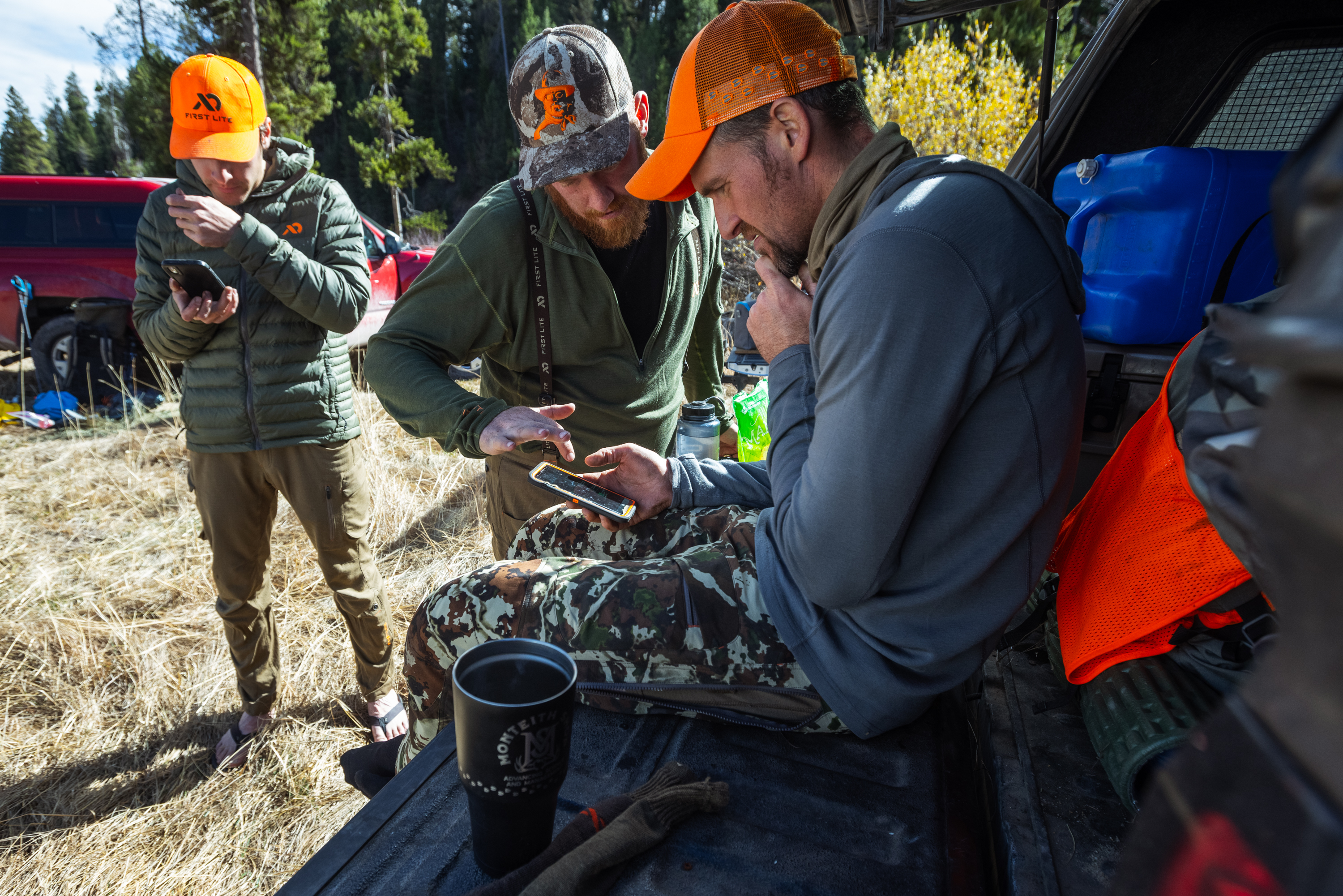
Digital mapping technologies have become an essential part of a hunter’s toolkit, particularly on public lands across the country. Equipped with only a smartphone or a handheld GPS unit, sportsmen and women can see exactly where they stand relative to landmarks and property boundaries, enabling them to stay safe and legal while afield.
However, the full potential of these technologies to enhance our enjoyment of public lands is diminished by incomplete and inconsistent mapping data from agencies such as the U.S. Forest Service, Bureau of Land Management, National Park Service, and Army Corps of Engineers. Thankfully, in March 2021, a bipartisan group of senators reintroduced a bill (S. 904), the Modernizing Access to our Public Land (MAPLand) Act, that would address this issue by creating a standardized and comprehensive database of all information about recreational access on our public lands.
Specifically, the MAPLand Act would provide funding and guidance to land management agencies to digitize recreational access information and make it available to the public. That would include information about legal easements and rights of way that provide public access across private land; seasonal or vehicle-type restrictions on public roads and trails; boundaries of areas where any special rules or prohibitions apply to activities like target shooting and hunting; and areas of public waters that are closed to watercraft or subject to horsepower restrictions.
While some of this information might, in some areas, already be available on certain apps, in most it’s unavailable or incomplete. The Forest Service alone has an estimated 37,000 recorded access easements, but only 5,000 have been digitized and uploaded electronically.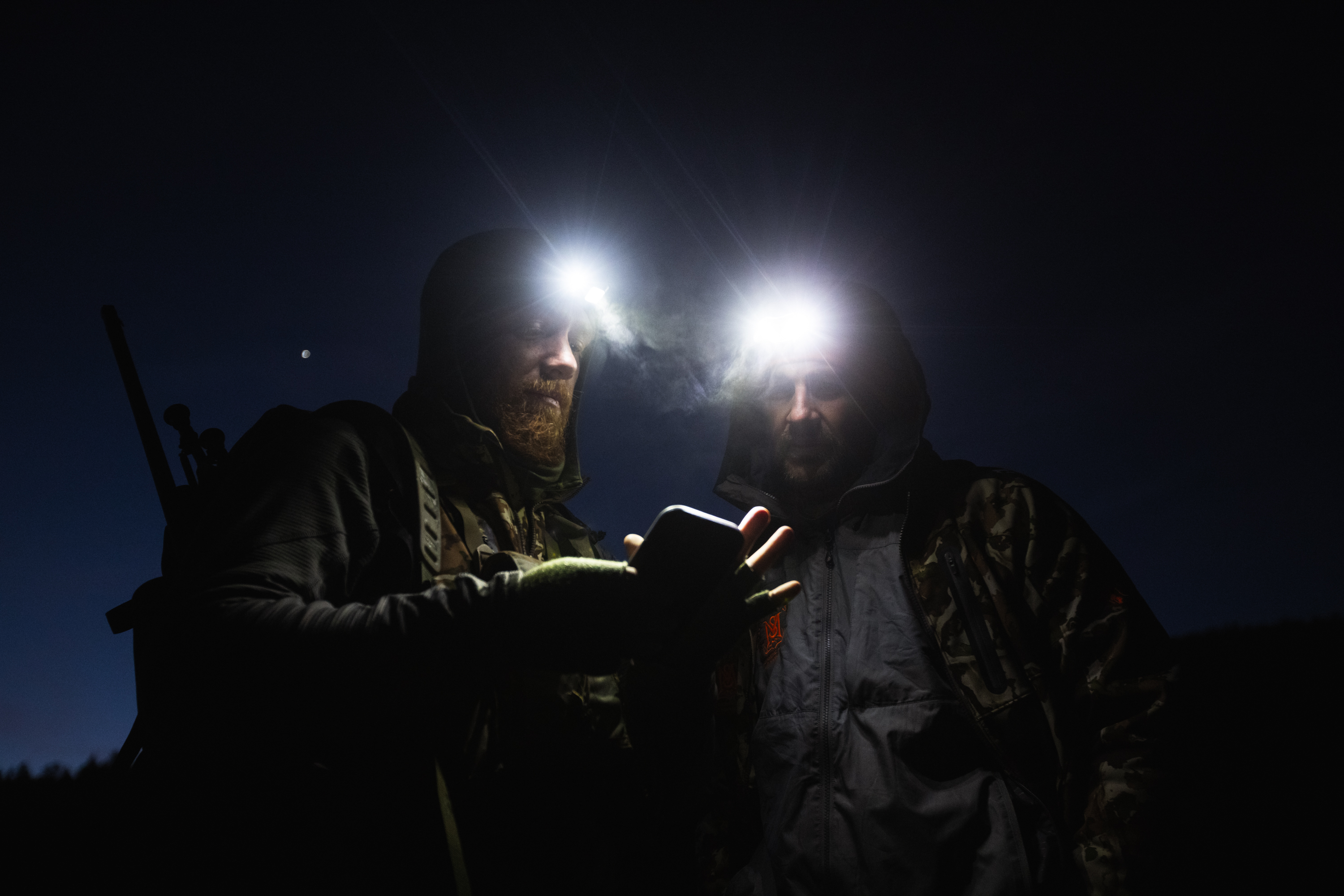
As a result, determining whether a particular point of access or travel route is open to the public can be time-consuming and difficult. This barrier may discourage newcomers to the outdoors and prevents others from taking full advantage of their opportunities. Many would avoid driving on a road if they were unable to confirm that it is, in fact, open to public use. Others might decide to avoid entirely a particular section of National Forest if a portion of it has site-specific rules—such as a ban on discharging a firearm within a specific zone—that cannot be easily followed because there is no GPS-based point of reference.
Hunters across the country need a comprehensive, easily accessible, and smartphone-compatible suite of access information. The agencies themselves would also benefit from such a resource. It would enable land managers to reduce user conflict, identify public lands with limited or nonexistent access, and take steps to expand recreational opportunities.
A modern mapping system to serve the growing numbers of outdoorsmen and women is a long overdue, common-sense investment. It is critical that lawmakers hear your voice on this issue. Reach out to your Senator and tell them why they need to support S. 904 MAPLand Act.
Visit TRCP.org/mapland to learn more and take action in support of the MAPLand Act.
[author] [author_image timthumb=’on’]https://www.biggame.org/wp-content/uploads/2021/05/Migration_TRCP_FL_Maven_146.jpg[/author_image] [author_info]This article is written by Randall Williams, Western Communications Manager at Theodore Roosevelt Conservation Partnership (TRCP). The TRCP is a non-profit corporation that works to preserve the traditions of hunting and fishing. Article photo credit goes to Maven/Craig Okraska.[/author_info] [/author]